Geography & Transit Analysis

Winter Break Destinations

An examination of northern winter corridors evaluating daylight windows, mountain terrain, transit resilience, and settlement logistics.

Selecting a cold-weather break destination requires assessing environmental thresholds rather than seasonal imagery. Maritime Arctic fringes, volcanic island chains, continental thrust belts, and elevated river terraces present distinct logistical parameters. This comparative register benchmarks five distinct regions across structural and operational criteria.

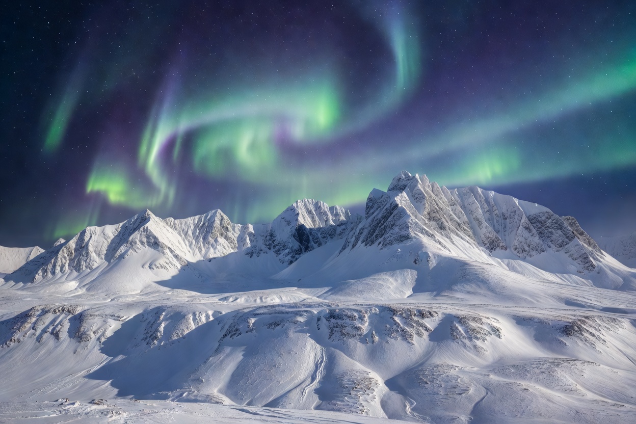
Snow-covered mountain peaks under cold northern light
Regional Assessments

Comparative Destination Profiles

Five geographical zones structured by climate mechanics, settlement access, and transit infrastructure.

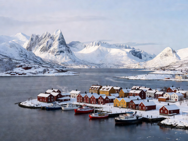
Tromsø harbour waterfront with snow-clad coastal mountains
ZONE 01 / ARCTIC MARITIME

Tromsø, Northern Norway

Situated at 69 degrees north, Tromsø functions as an urban island hub within a deep fjord network. The Norwegian Sea maintains open waterways despite high latitude, moderating thermal extremes while limiting solar radiation during the polar night period.

Logistical operations depend on regional coastal ferries, tunnel links, and high-frequency civil aviation connecting through Oslo. Microclimate variance between shoreline and mountain plateau requires staged route planning.

Examine Tromsø Profile
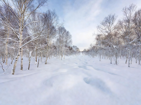
Hokkaido birch forest and deep snowpack in rural Japan
ZONE 02 / INSULAR VOLCANIC

Hokkaido, Northern Japan

Hokkaido intercepts Siberian cold air masses crossing the Sea of Japan, producing consistent low-density precipitation across the Shiribeshi and Kamikawa subprefectures. The terrain combines volcanic calderas with agricultural valleys.

Transit networks centre on the New Chitose air terminal, heavy-gauge regional rail corridors, and dedicated winter bus expressways. Geothermal energy underpins regional heating and onsen bathhouse facilities.

Examine Hokkaido Profile
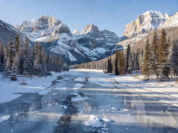
Frozen river valley framed by jagged limestone peaks in Banff
ZONE 03 / CONTINENTAL INTERIOR

Banff, Canadian Rockies

The Bow Valley in Alberta exhibits continental mountain conditions characterized by pronounced dry cold and steep limestone topography. Base elevations exceed 1,300 metres within protected national park borders.

Access relies on the Trans-Canada Highway corridor from Calgary International Airport. Environmental regulations limit urban sprawl, concentrating services within compact municipal zones served by hybrid regional transit.

Examine Banff Profile
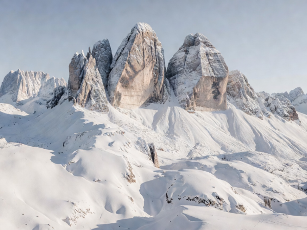
Vertical limestone rock faces of the Dolomites surrounded by snow fields
ZONE 04 / SOUTHERN ALPINE

Dolomites, Italian Alps

Located in north-eastern Italy, the Dolomite massifs feature pale vertical carbonate walls rising from dense coniferous valleys. The region balances Mediterranean atmospheric influences with high-altitude alpine weather systems.

Infrastructure is characterized by inter-valley road passes subject to chain restrictions, paired with one of the world's most dense cable transit and mountain hut networks. Transit feeds connect from Venice and Verona rail hubs.

Examine Dolomites Profile
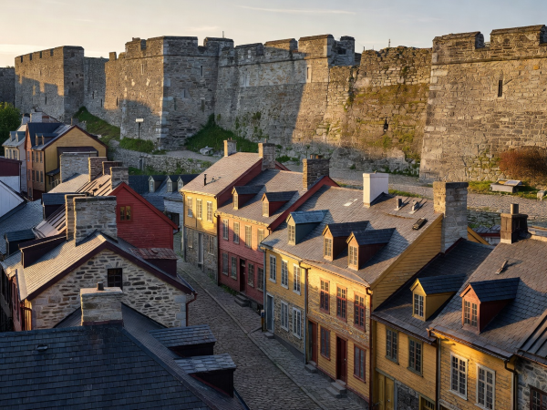
Stone ramparts and historic lower town architecture in Quebec City
ZONE 05 / RIVER ESTUARY

Quebec City, Eastern Canada

Positioned on the promontory of Cap Diamant overlooking the Saint Lawrence River, Quebec City experiences severe continental winters marked by sustained sub-zero temperatures and high municipal snow volumes.

The city's historic core maintains seventeenth-century fortified masonry, supported by specialised municipal clearing protocols. Rail corridors connect directly to Montreal, while regional roads service surrounding Laurentian park systems.

Examine Quebec Profile
Selection Framework

Logistical Evaluation Matrix

Key operational dimensions governing cold-weather transit, lodging capacity, and environmental exposure.

Destination Climate Category Daylight Exposure Primary Transit Vector Elevation Band
Tromsø Subarctic Maritime Minimal to Polar Night Regional Air & Fjord Ferry Sea Level to Coastal Peaks
Hokkaido Temperate Insular Cold Standard Winter Day Intercity Rail & Regional Bus Low Plain to Volcanic Summit
Banff Continental Subalpine Moderate Mountain Sunlight Highway Arterial Transit High Subalpine Valley
Dolomites Inner Alpine Massif High Sun Exposure Alpine Pass Road & Cable Mid Valley to Alpine Plateau
Quebec City Humid Continental Moderate Northern Sun Via Rail Corridor & Highway River Terrace to Escarpment