Geological Setting and Microclimate Profiles
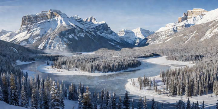
Banff townsite lies at an elevation of approximately 1,383 metres, with surrounding ski basins extending well past 2,600 metres. The valley floor is hemmed in by Mount Rundle, Cascade Mountain, and Sulphur Mountain. This vertical topography creates sharp microclimatic stratification.
Temperature inversions are frequent during calm winter periods, where colder, denser air sinks into the Bow Valley floor while alpine ridge lines remain several degrees warmer. Precipitation is characterized by dry continental snow, which has low water content and resists consolidation. Weather changes can be abrupt, driven by Pacific frontal systems moving inland or Arctic air spilling south through the mountain passes.
Periodic Chinook winds—warm foehn-type winds descending the eastern slopes—can cause rapid temperature spikes within a matter of hours, occasionally causing surface softening followed by rapid freeze-ups when the wind pattern shifts.
Corridor Transportation and Environmental Constraints
As a municipality enclosed entirely within Banff National Park, urban expansion is legally capped. Transit systems prioritize collective movement to minimize wildlife disruption and emissions:
- Trans-Canada Arterial Corridor: Highway 1 serves as the primary ground artery linking Calgary to the mountain parks. The roadway features wildlife exclusion fencing and specialized overpasses/underpasses to allow animal migration while maintaining highway traffic speeds.
- Roam Public Transit: The Bow Valley's hybrid bus network links Banff, Canmore, Lake Louise, and major trailheads. Services operate year-round on winter schedules designed to reduce private vehicle dependency.
- Icefields Parkway Management: Highway 93 North connecting Lake Louise to Jasper is maintained with minimal chemical treatments, requiring mandatory winter tyre certification and closing routinely for active avalanche control using howitzers and explosives.
Comparison: Bow Valley vs Columbia Mountain Basins
Comparing Banff with the interior ranges of British Columbia clarifies logistical distinctions:
Snow Accumulation vs Stability: The Columbia Mountains (incorporating Revelstoke and Golden) receive higher moisture volumes from Pacific systems, yielding deeper overall snow depths. Banff receives lighter precipitation totals, but its snowpack is subject to prolonged cold, generating depth hoar and complex avalanche layers that require strict adherence to Parks Canada public safety bulletins.
Infrastructure Stability: Banff benefits from direct multi-lane highway connectivity from Calgary's international terminal across flat prairie terrain before entering the mountains, reducing weather-related highway closures compared to BC passes such as Rogers Pass.
Operational Planning Factors
Key parameters for operational scheduling in Banff National Park include:
- National Park Entry Permits: All stationary vehicles require active Parks Canada discovery passes displayed on windscreens; compliance is monitored in all public parking areas.
- Thermal Protection for Electronics: Extended sub-zero exposure degrades lithium-ion battery capacity rapidly; equipment cases must incorporate thermal insulation for outdoor fieldwork.
- Altitude Adjustment: Arrival from low-elevation hubs requires pacing due to the combined impact of dry mountain air, elevation, and increased solar radiation reflection from snow surfaces.